FLOOD WARNING until 2pm 15 Apr 2026 – From the NWS
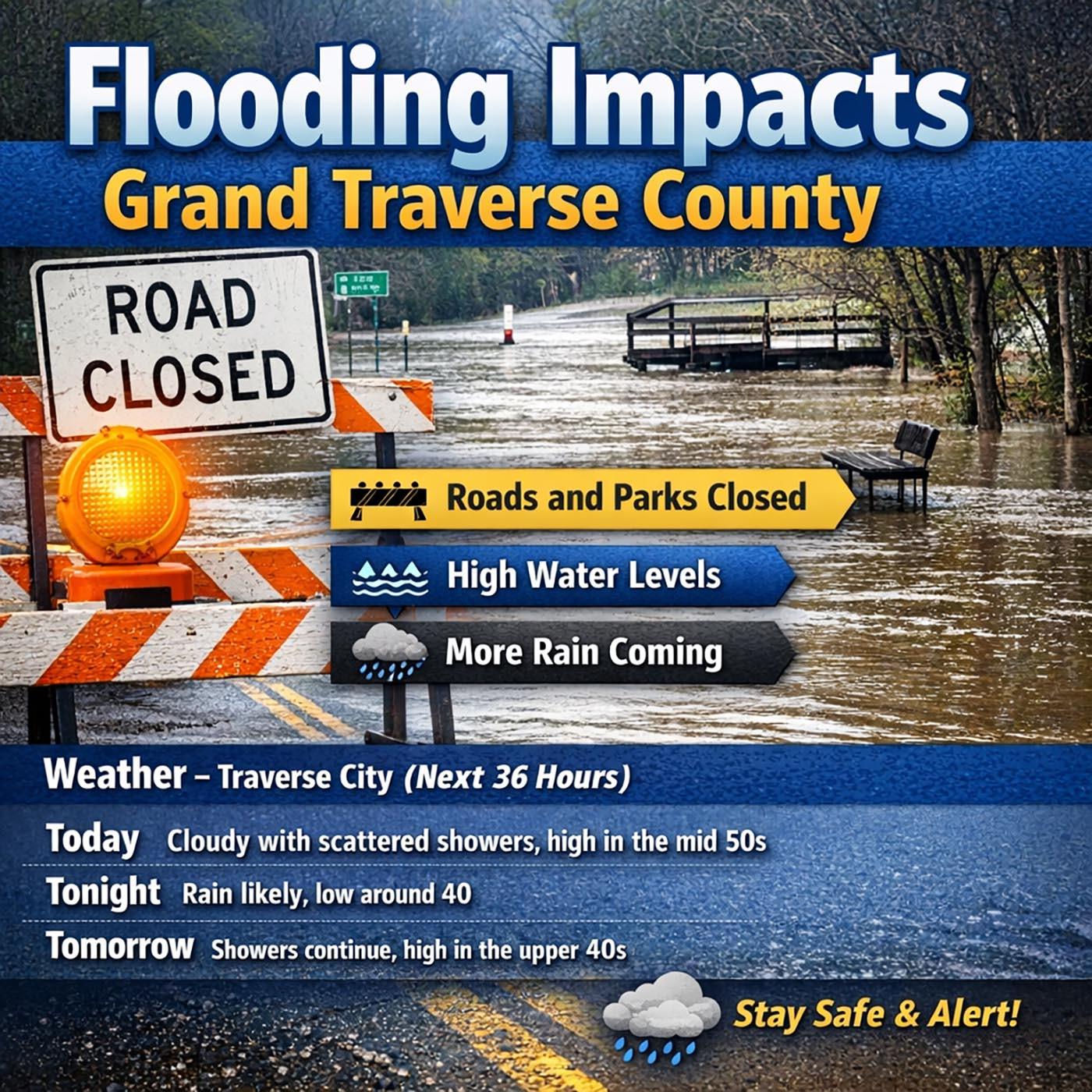
Flooding impacts Grand Traverse County with more rain on the way
• Heavy rainfall has led to flooding across parts of Grand Traverse County, including water over roads and in low-lying areas
• Local officials are monitoring conditions and urging drivers to avoid flooded roads and use caution
• More rain is expected, which could worsen conditions and extend impacts into surrounding counties
Source
Traverse Ticker
https://www.traverseticker.com/news/flooding-impacts-gt-county-beyond-with-more-rain-on-way/
⸻
Weather – Traverse City (Next 36 Hours)
Today
Patchy fog before noon. Otherwise, partly sunny, with a high near 65. West wind around 5 mph.
Tonight
Scattered showers and thunderstorms before 2am, then isolated showers. Mostly cloudy, with a low around 48. Calm wind. Chance of precipitation is 40%.
Wednesday
A chance of showers, with thunderstorms also possible after 2pm. Mostly cloudy, with a high near 63. Calm wind becoming southwest around 5 mph in the afternoon. Chance of precipitation is 50%.
Leave a Reply